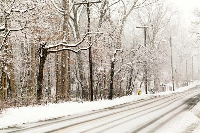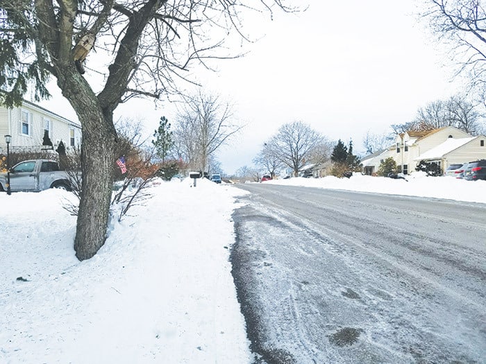
OCEAN COUNTY – The snarling blizzard of 1996 dumped several feet of snow on the ground, choked streets, and dropped temperatures well below freezing. Many Ocean and Monmouth County residents were trapped in their homes for days.
Whether we will see a storm like that during the coming winter months remains to be seen.
While Northeast residents might see a “touch of winter” in December, the worst will come in “full force” after the new year, said Paul Pastelok, the long-range forecaster for AccuWeather.
But the coming winter will be a busy one, he said.
“Whether or not it’s snowstorms, ice storms or mixed events, I do feel this is going to be an active year for the Northeast,” Pastelok said.

And that might include above-normal snowfall, he said.
Jersey Shore residents can also expect more nor’easters this winter. Nor’easters got their name from their location. They are on the east coast of North America, and the winds over the coastal area comes from the northeast. According to Weather.gov, these damaging storms form between New Jersey and Georgia.
The Old Farmer’s Almanac is calling for colder than normal temperatures and above normal precipitation in the northeast.
“Our outlook forewarns of not only a good amount of snow, but also a wintry mix of rain, sleet – especially along the coast,” the website states.
The nynjpa.com website breaks down the winter months in terms of precipitation and temperatures. The snow threat for December is moderate.
However, that won’t be the case for January and February. There are two chances for major winter storms. One will be at the beginning of January and another during the last third of the month, according to nynjpa.com.
“Look for the words Polar Vortex to be mentioned frequently with an arctic blast a high threat,” the website states. “The snow threat is very high.”
Snow will also be a major factor in February, with polar and arctic air masses making the threat very high. The snow threat for March (a wild card month) is moderate. But there’s a possible major winter storm in the first half of the month.
Winter temperatures will be near or slightly above normal, with the coldest periods in mid-December, mid- and late January, February, and early March, according to the Old Farmer’s Almanac.
Precipitation will be below normal in the north and above normal in the south. Snowfall will be above normal, with the snowiest periods in mid-November, early to mid- and late December, January, and early February.
And it will be a long winter, according to the Farmer’s Almanac.
“Winter will hang on with stormy conditions up through the official start of spring, especially for the East Coast,” the Farmer’s Almanac website states.
The National Weather Service will release its winter weather predictions on Dec. 15, according to the NWS website. The NWS will also introduce its new “Winter Storm Outlook” webinar on that date.

The webinar will focus on the possibility of hazardous snow or ice events, by sending key messages about significant winter storm threats during the first three days of the forecast period. The Winter Storm Severity Index will be extended to all 116 NWS forecast offices in the United States.


