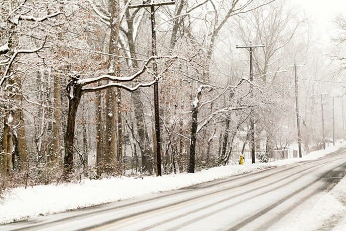
NEW JERSEY – Author and naturalist Hal Borland said, “No winter lasts forever; no spring skips its turn.” But Spring, personified, missed her March 20 appearance, instead dumping sleet and snow on a winter weary region.
Well, Punxsutawney Phil did see his shadow, after all.
Patrick O’Hara, a meteorologist with the U.S. National Weather Service Philadelphia/Mount Holly said this latest nor’easter should clear out by Thursday morning, dumping some pretty good accumulations, but below-average temperatures for this time of year will linger through the weekend into early next week.

“Normal” for Monmouth and Ocean counties is temps in the low 50s this time of year.
There might even be a chance for a bit more snow and cloud cover this weekend, especially Sunday, though no significant accumulations are expected.
The northeast has been plagued with troughs—a meteorological term for areas of low atmospheric pressure—that traps cold air from Canada and moisture from the Atlantic and Gulf of Mexico and amplifies and intensifies any disturbance, this time creating a nor’easter. The region has suffered four nor’easters in three weeks, with some of those storms bringing widespread power outages and “thundersnow.” A Manchester Township teacher was injured by a lightning strike March 7 during one storm.

O’Hara said the weather service doesn’t have a long-range forecast for what Spring on the Jersey Shore holds.
But for those who are interested in such things, the Farmers’ Almanac is calling for a lot of rain, and an average temperature of 48 degrees for March, 53 degrees for April.


