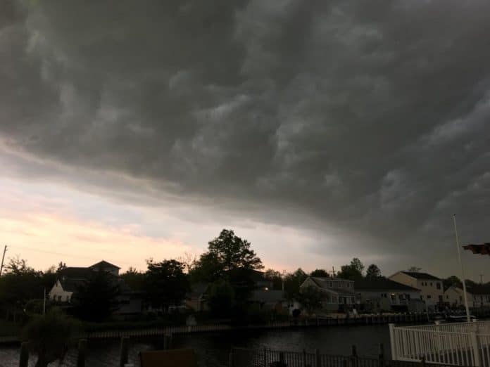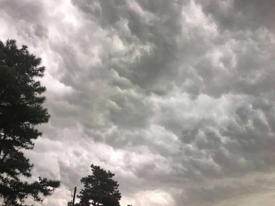
NEW JERSEY – New Jersey experienced some severe thunderstorms and strong wind gusts on May 15, forming what is known as a minor meteotsunami.
According to the National Oceanic and Atmospheric Association (NOAA), meteotsunamis are large waves caused from severe weather events, a relatively new discovery.
“Unlike tsunamis triggered by seismic activity, meteotsunamis are driven by air-pressure disturbances often associated with fast-moving weather events, such as severe thunderstorms, squalls, and other storm fronts. The storm generates a wave that moves towards the shore, and is amplified by a shallow continental shelf and inlet, bay, or other coastal feature,” it stated on the NOAA website.
The NOAA Weather Prediction Center posted continuous updates to their Facebook page on Tuesday, May 15.

“Severe Thunderstorm Watch 93 is in effect for portions of NY and PA until 8pm EDT. Damaging winds, large hail and a tornado or two are possible in the watch area,” stated a post around 1 p.m.
A few hours following this, the NOAA Weather Prediction Center updates that the thunderstorm watch was in effect until “11pm EDT for portions of Southeast New York, New Jersey, Southern Connecticut, Northern Delaware, Northeast Maryland, Eastern Pennsylvania and the adjacent coastal waters.”
New Jersey saw severe thunderstorms which were the cause of the meteotsunami off the Jersey Coast.

Following strange readings on a buoy off the coast of Atlantic City, the National Weather Service (NWS) reported water surges were expected overnight.
While no damage has been reported as a result of the meteotsunami, some wind damaged occurred.
On May 16, following the storms and meteotsunami, the US NWS Philadelphia/Mount Holly Facebook page reported that “wind damage was widespread generally to the north of I-78 with yesterday’s severe weather.”


